Rates and Terms
We try to make the decision to use a drone for aerial filming and survey as easy as possible and therefore we offer standard services that cover most situations. If however you have other requirements or wish to combine services then we are more than happy to accommodate.
The rates below refer to standard services in the operational zones Band A to Band C and include travel time. They do not include for accommodation or subsistence should a project require more than one day of filming.
Please use the enquiries form for sites outside of Band C.
There are certain restrictions on the operations of UAV’s in the UK. If your site is within a restricted area we will check to see if permission can be obtained to fly from the necessary authorities. The link below gives and indication of UK restricted airspace.

survey and aerial filming rates
The rates below cover operations in the South East of England and are inclusive of travel time and expenses. For areas outside Band C, please enquire as we may be able to combine this with other jobs. If you have multiple site we will aim to combine them into a single day of filming to reduce the cost of travel. The below rates are for a single operator and do not include for a second camera operator on a filming location.
BOOKING PROCEDURE
At the time of enquiry, we will carry out an initial feasibility review of the project to determine the feasibility. We will establish a scope of services required based on your site or sites and issue a formal proposal. Once the scope and fees have been agreed we will carry out a site desktop survey and a preliminary risk assessment. We will then issue landowner permission forms to be completed prior to the job being given a live status.
Once permission forms have been received Survey Drone Ltd will agree provisional dates for carrying out the work based on the client’s preferred dates and on assessment of forecast weather conditions. If the weather conditions do not look favourable, we may suggest alternative dates or times.
We will continue to monitor weather conditions in the days before the scheduled operations and will advise of alternative dates if necessary.
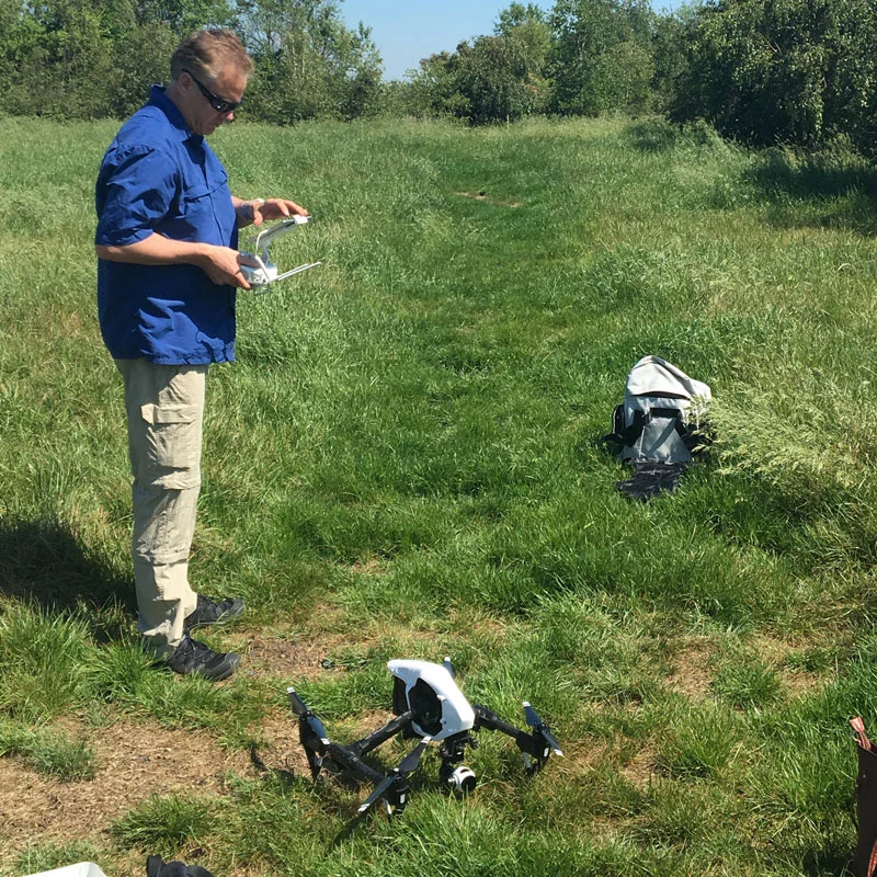
ON THE DAY
When Survey Drone Ltd arrive on site we will meet with the client or an authorised representative and carry out a site walk around to discuss the brief to determine any key requirements and objectives of the mission.
It is the responsibility of the Remote Pilot to ensure that the take-off and landing sites are safe and that the weather conditions are suitable for aerial operations.
During the flight operations the client may join the crew at the discretion of the PIC. The operation may involve frequent landings for setting up shots and for battery changes and constant vigilance needs to be maintained for potential hazards or changing weather conditions. The operation may be called off or temporarily halted by the PIC if conditions become unfavourable.
Once the operation has been completed, the Remote Pilot will agree with the client that all of the required footage has been obtained. If additional footage is requested then the PIC will determine whether it can be obtained within the window of operations or prevailing conditions.
weather
Good light conditions are required in order to obtain consistent exposures and well lit subjects. Windspeed should not exceed 17 knots or gusts over 20 knots. We are unable to fly when it is raining or if stormy conditions are imminent.
